Experience one of Scotland’s Great Trails on an adventure of a lifetime as you explore the Speyside Way.
Moray Speyside is co-host to one of Scotland’s great Trails, The Speyside Way. The world-famous trail begins in Buckie and concludes in Newtonmore but you can walk the route either way. The Speyside Way follows the valley of the River Spey – the second-longest river in Scotland. From the foot of the Cairngorm, through Malt Whisky Country, past castles filled with history and small towns and villages that are proud to showcase their heritage…The Speyside Way has so much to see.
The route takes you across the River Spey numerous times but it isn’t just the famous river that will you’ll be able to feast your eyes on when walking the epic long-distance route. Journey through Malt Whisky Country, the hills of the Cairngorms and discover the true peace and serenity of our countryside.
The Speyside Way links with the Dava Way at Grantown and with the Moray Coast Trail at Garmouth to form the Moray Way.
The Route
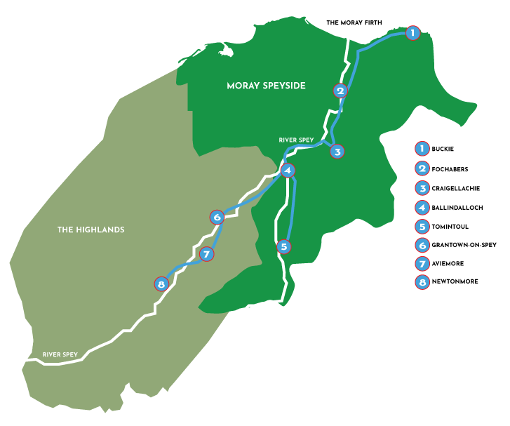
Moray Speyside Route Sections
The Speyside Way spans 137 kilometers, but it has been broken up into nine different sections. The sections offer different lengths, characteristics, path difficulties and all start and finish in a different town or village.
See information on each section below which can be enjoyed either at your own leisure or as the long-distance route.
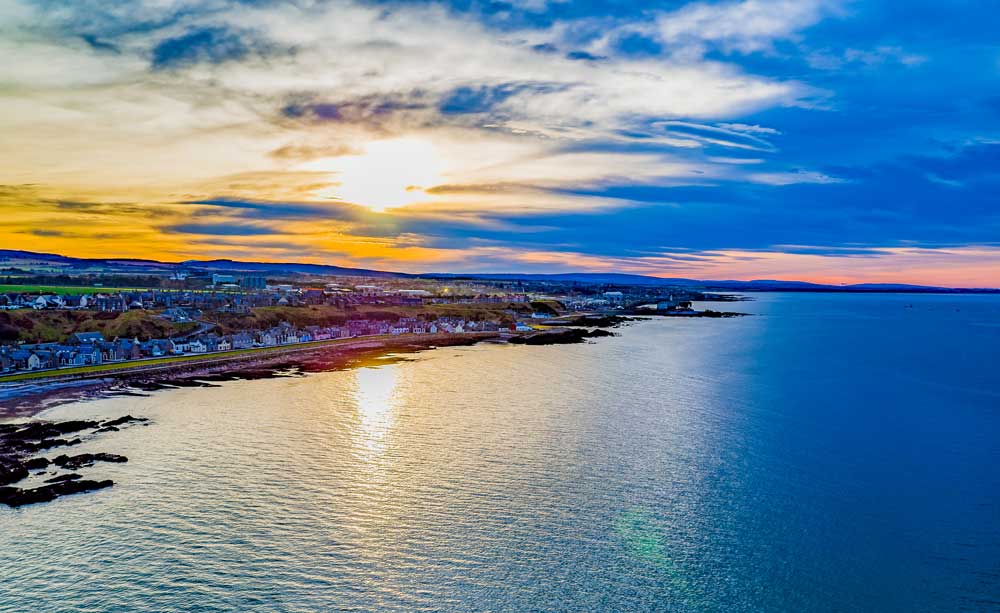
Buckie to Fochabers
Distance – 10.7 miles / 17.2km
Average Time to Walk – 4 Hours – 4.5 Hours
Terrain – Coastal Footpath along the Moray Firth which then moves onto a former railroad, woodland and fields.
Must See Sites – Moray Coast, Buckie Fishing Heritage Centre & WDC Scottish Dolphin Centre.
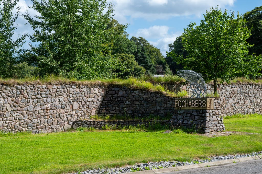
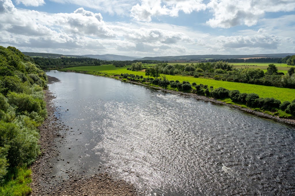
Fochabers to Craigellachie
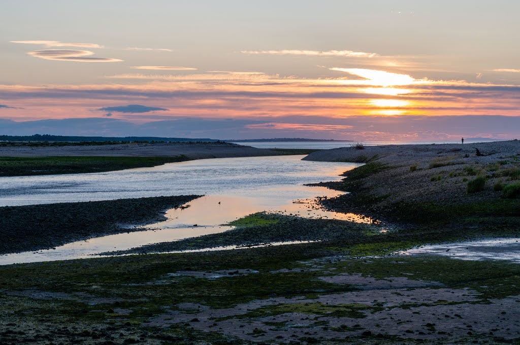
Distance – 12.7 miles / 20.4km
Average Time to Walk – 4 Hours – 4.5 Hours
Terrain – Woodland Path with road crossings but mainly flat.
Must See Sites – Gordon Castle & Craigellachie Bridge
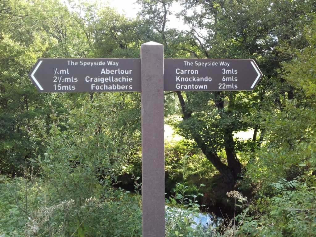
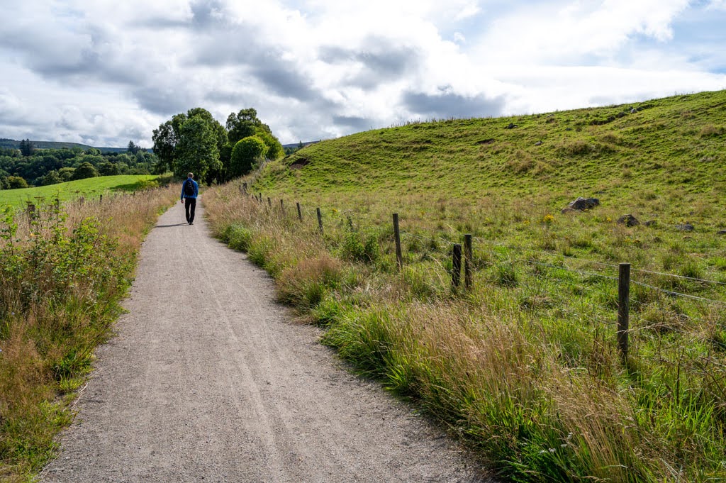
Craigellachie to Ballindalloch
Distance – 12.2 miles / 19.6km
Average Time to Walk – 4 Hours – 5 Hours
Terrain – Former railway track a good to firm path.
Must See Sites – Speyside Cooperage, Aberlour Distillery, The Macallan & Ben Rinnes
Ballindalloch to Tomintoul
Distance – 15.6 miles / 25.2km
Average Time to Walk – 5 Hours – 6 Hours
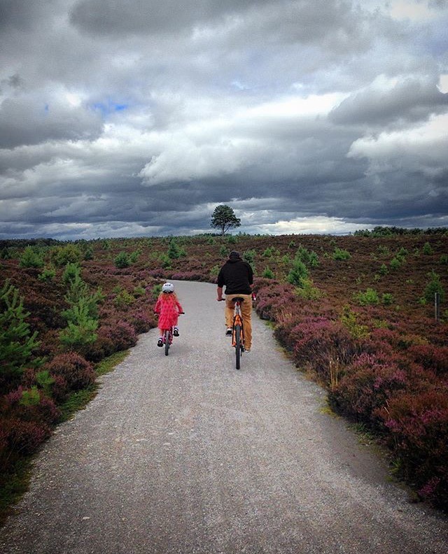
Terrain – Unsurfaced tracks and paths, can become wet underfoot as is a more exposed track. This part of the route can be challenging in mist or snow.
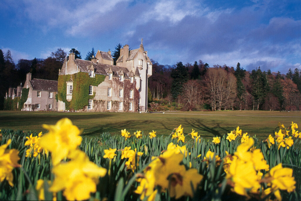
Must See Sites – Ballindalloch Castle, Snow Roads in Tomintoul, Glenlivet Distillery & The Lecht
The Cairngorm National Park Route Sections
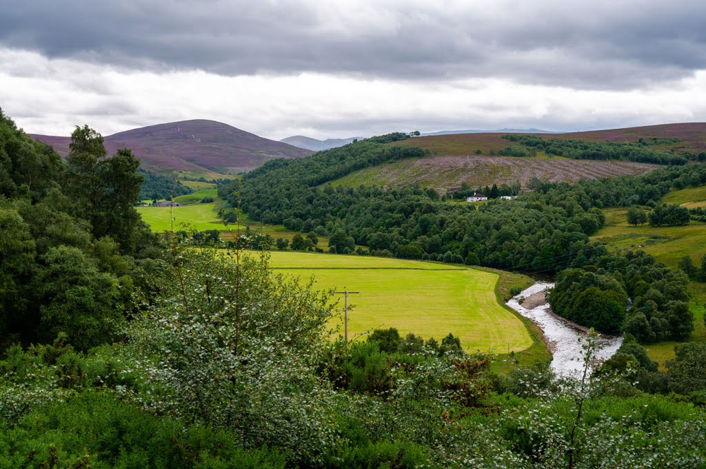
Upon leaving Moray you will find yourself in the Cairngorm National Park. This is arguably the more grueling part of The Speyside Way. These sections take you over an ever-changing landscape with vast open land and beautiful highland landscapes.
The Cairngorms is the UK’s largest National Park, in the Scottish Highlands and offers masses of things to do including watersports, snowsports and wildlife watching when you are not exploring the Speyside Way. The size, scale and remoteness of this region make them one of the most dramatic and harsh mountain environments in Scotland, a challenge to even the most skilled hillwalkers.
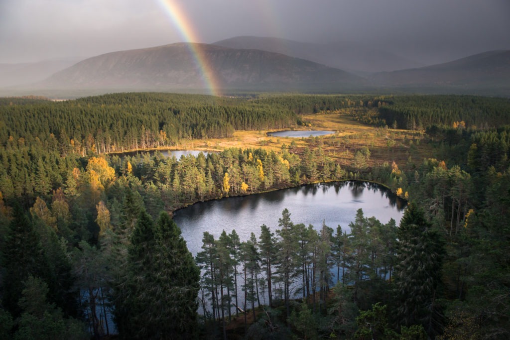
The Cairngorms National Park has one of the most spectacular landscapes in the world. Awash with mountains, glens, lochs, culture, heritage, special habitats, the darkest skies, wonderful people (and red squirrels!).
Ballindalloch to Grantown-On-Spey
Distance – 13.7 miles / 22.1km
Average Time to Walk – 5 Hours – 6 Hours
Terrain – Mainly forest roads and unsurfaced.
Must See Sites – Grantown Museum & Grantown East Highland Heritage & Cultural Centre
Grantown-On-Spey to Aviemore
Distance – 16.2 miles / 26.1km
Average Time to Walk – 6 Hours – 6.5 Hours
Terrain – Former Railway mixed with forest paths and roads.
Must See Sites – Strathspey Steam Railway
Aviemore to Newtonmore
Distance – 19.5 miles / 31.4km
Average Time to Walk – 6 Hours – 7 Hours
Terrain – A mix of roadside paths and forest tracks.
Must See Sites – Highland Folk Museum and Wildcat Centre
Accommodation in Moray
Buckie
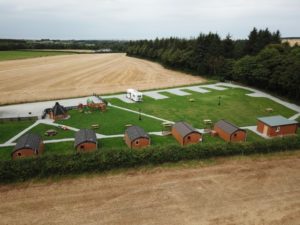
Greencraig Pods, Caravan & Camping
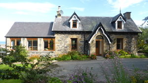
View of Moray, Enzie Station House
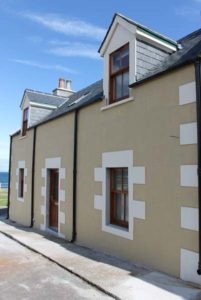
68 Yardie Holiday Home

Kintrae Bed and Breakfast

Sandy Brae Cottage Findochty
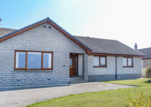
5 Golf View Drive
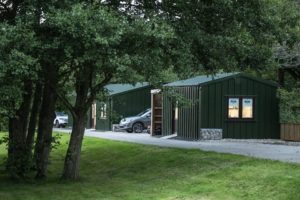
Mill Brae Fishery
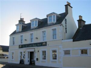
The Old Coach House Hotel
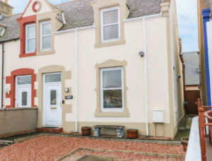
5 Jubilee Terrace

Firthview
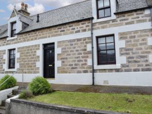
Acarsaid Cottage
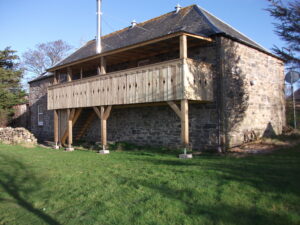
The Granary
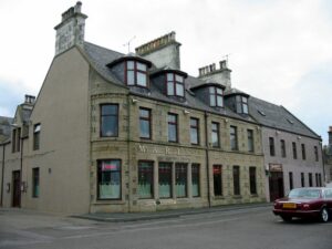
Marine Hotel
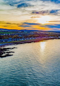
Struan House, Buckie
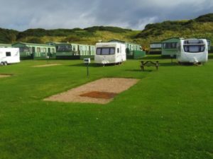
Strathlene Caravan Park
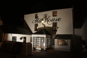
The Mill House Hotel & Restaurant
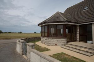
Golfview
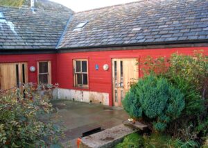
Cullen Harbour Hostel
Fochabers
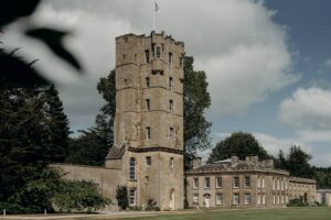
Gordon Castle Estate

Celeste Cottage Fochabers

The Old Manse Self Catering Accommodation

Dipple House
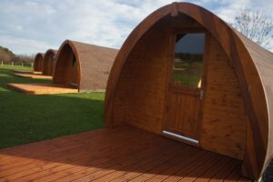
Braehead Glamping
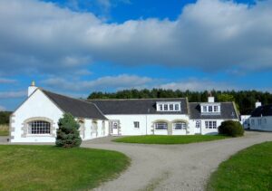
Orton Estate

Strathspey Apartment
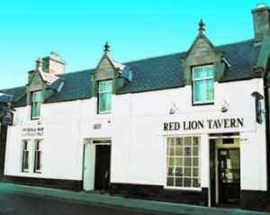
The Red Lion Tavern
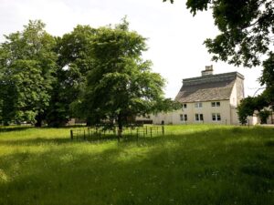
Lakeside Cottage
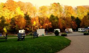
Burnside Caravan Park
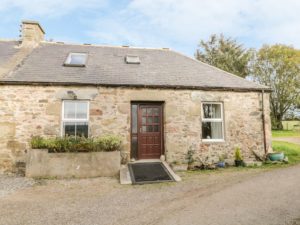
Stable Cottage

Thistledown
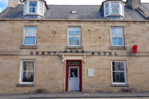
The Grant Arms Hotel, Fochabers

Trochelhill Country House B&B
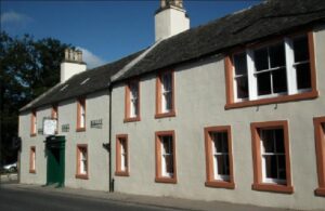
The Gordon Arms Hotel
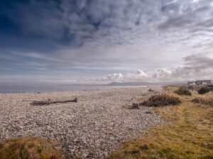
Mouries Self Catering Spey Bay
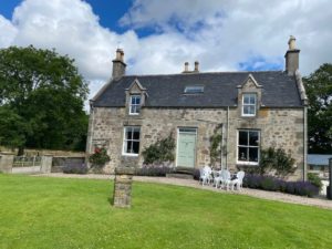
Collie Farmhouse
Craigellachie
Ballindalloch
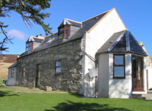
Bluefolds Highland Holiday Cottages
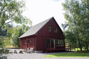
Cragganmore Lodge
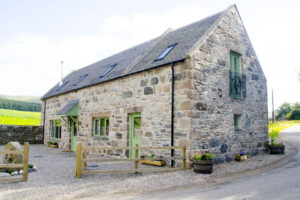
Auchnascraw Mill
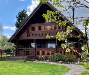
Ballin Dhu
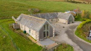
Balneden Steading
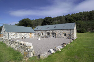
Weiroch Lodge

Cragganmore House
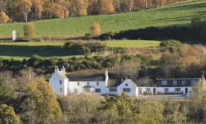
The Delnashaugh

Marionburgh House
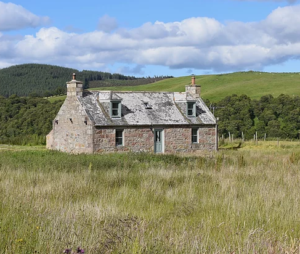
Wester Fodderletter Farmhouse
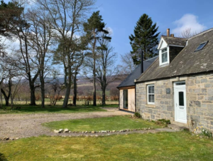
Drumin Farm Cottage

Mountain View
Tomintoul

Mountain View
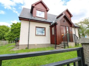
Tombeck

Wester Fodderletter Farmhouse

Gordon House
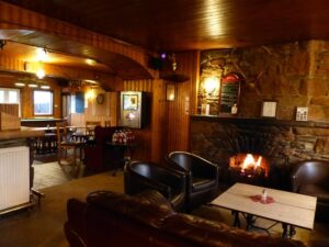
Glenavon Hotel

Millbank
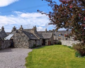
Ailnack Cottage
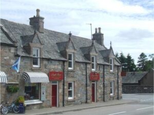
Argyle Guest House
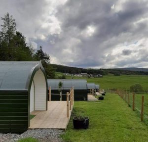
Glamping In The Gorms
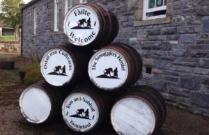
The Smugglers Hostel
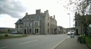
The Richmond Arms Hotel


