
Immerse yourself in Moray Speyside’s most fascinating walking trails
June sees the return of the Moray Walking Festival, bringing outdoor enthusiasts together for ten days across dozens of events. It’s a fantastic way to explore all that Moray Speyside has to offer with the festival providing options for all abilities and interests.
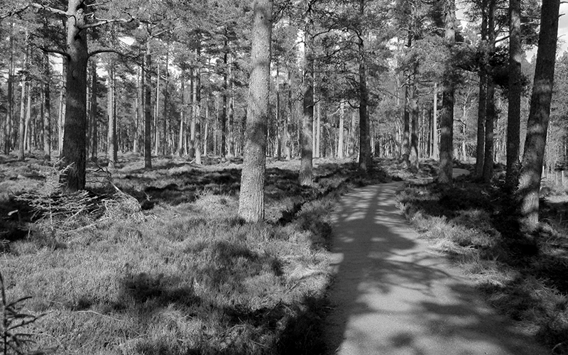
Walking isn’t just about racking up miles though, it’s also about immersing in the wildlife and heritage along the way. Moray Speyside hosts many well-established routes, along with plenty of fascinating tails from the trails.
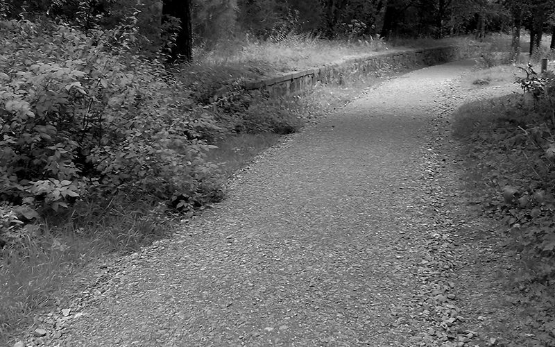
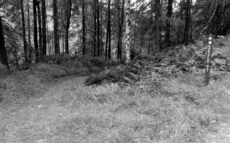
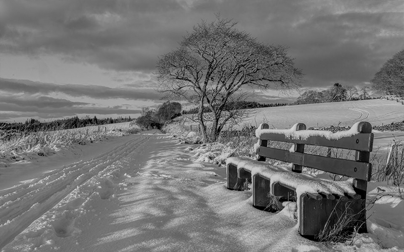
The Speyside Way
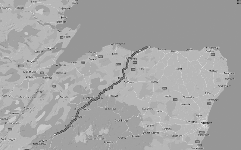
Now 85 miles long, running between Newtonmore and Buckie, the Speyside Way is one of only four official long-distance walks in Scotland. The River Spey is the beating heart of Speyside, so following its meandering route to the sea keeps walkers close to some incredible stories.
Imagine back to a time when Timmer Floaters rafted their way from the forests to the coast, with smells from Speyside’s famous whisky distilleries wafting in the air. There are more than just stories of Speyside’s industrial past though, intriguing myths and legends also surround this river.
The Spey was once said to be the lair of a Kelpie. These supernatural beasts take the shape of a majestic horse, beckoning unsuspecting travellers onto their backs where they find themselves stuck fast. Kelpies then gallop into a nearby loch or river, drowning their victims in the depths.
The Kelpie of the Spey is said to be shining white and even known to attract people by singing. No matter how tired your feet are while walking the Speyside Way, be wary if you stumble across a welcoming looking horse.
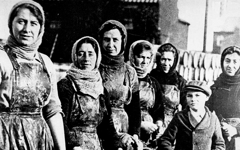
Fishwives Way
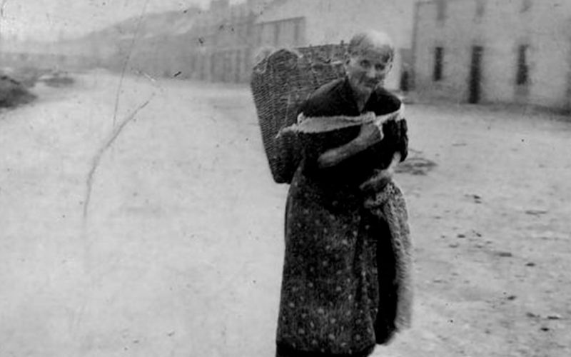
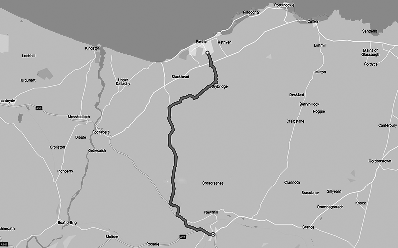
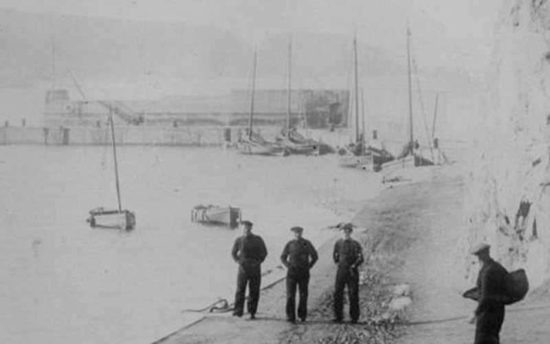
Arriving in Buckie doesn’t have to mean the end of your walk. Launched in 2013 and only 13 miles long, the Fishwives Path is arguably an even more historic route. Fishing has always been an important way of life here, sustaining the people of Moray for thousands of years.
The 19th Century saw the start of the herring boom and change come to these coastal towns. Catches increased, boats became bigger and harbours were expanded. Once the catch was landed, it was an army of fishwives who took care of business.
For generations, they walked inland from the harbour in Buckie to sell their wares in Keith. All the while weighed down by a heavy basket, loaded with fish prepared by their own hands.
Things weren’t much easier on the walk back, often returning with pails filled with milk. Mary Milne, known as the last Buckie fishwife, kept up the tradition until the 1950s and her retirement at the grand age of 73.
Walking in the shoes of those remarkable women along the Fishwives Path brings their story to life, although fortunately carrying fish baskets or milk pails is now purely optional.
Isla Way
From the Scots Toun of Keith, another historic trail leads hikers in search of refreshment. The Isla Way takes walkers less than 13 miles along the River Isla to Dufftown and an enviable bounty of Speyside whisky distilleries.
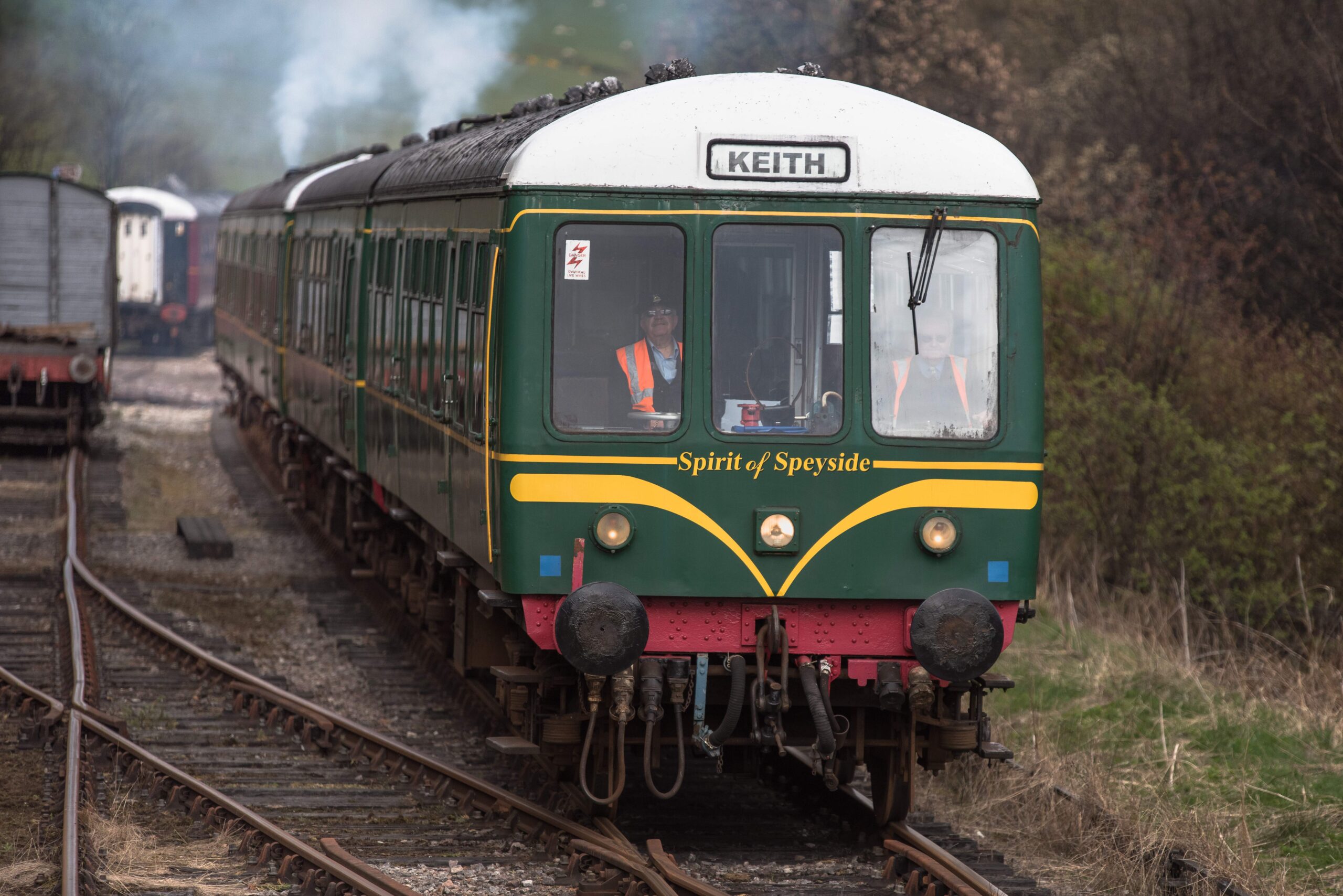
Much of the route follows the old Keith to Dufftown heritage railway line, originally opened in 1862. Around 100 years later, regular passenger services ceased and commercial trains soon followed suit. Luckily the track was left where it lay allowing it to reopen for visitors now as The Whisky Line.
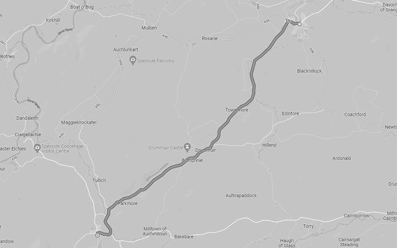
At the point where the Islay Way detours around Drummuir, the path passes St Fumac’s Well. Here preaching to the local Picts, this 6th Century saint bathed every morning in this natural spring, no matter the weather. Even after his death, a wood carving of Fumac continued to be washed here once a year, until the Isla flooded and carried the effigy all the way to Banff where the confused locals burned it.
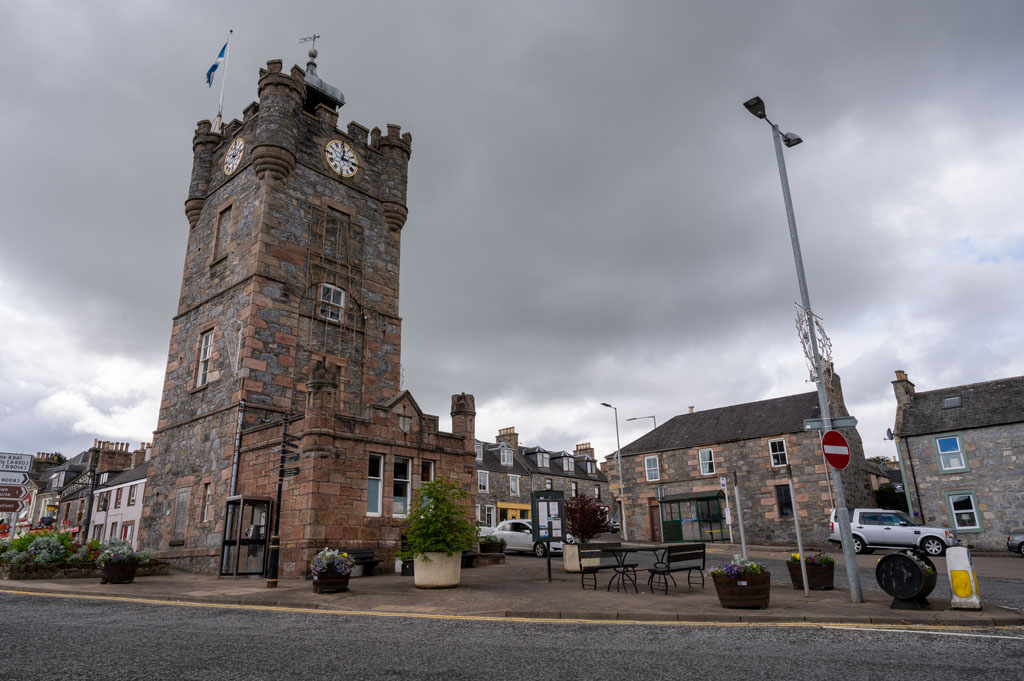
If the Isla Way isn’t enough walking, then the iconic Dufftown clocktower is the starting point for many local routes including an amble around all seven distilleries in the town.
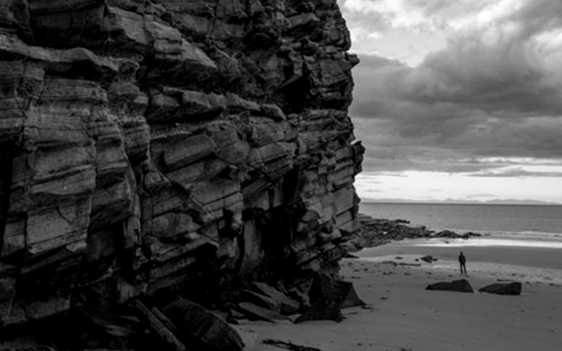
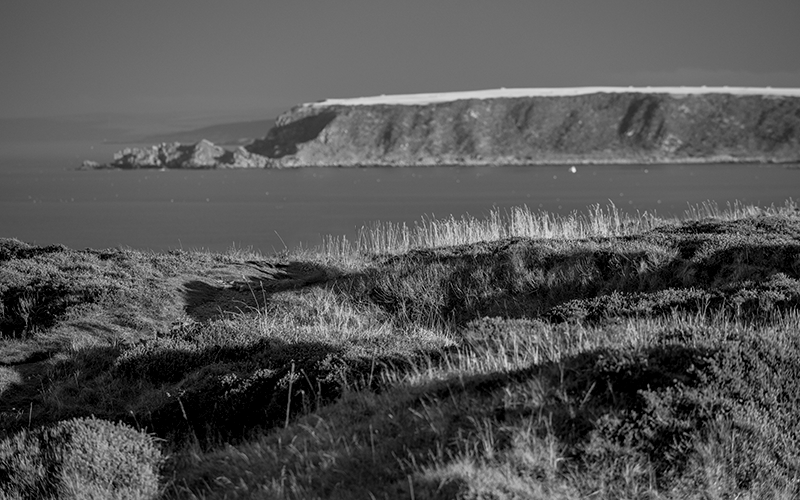
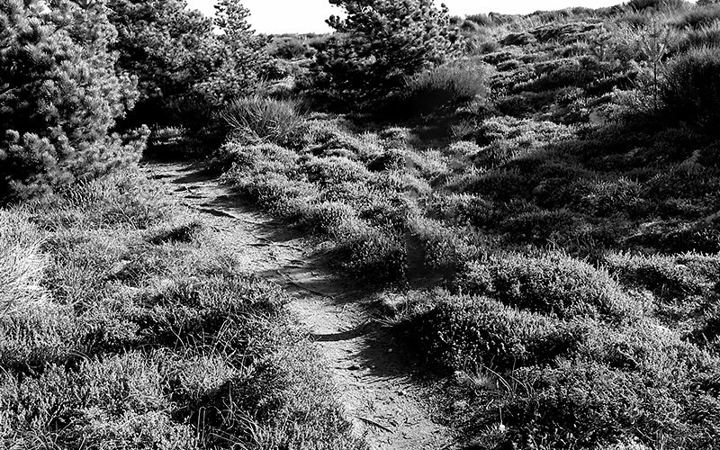
Moray Coastal Trail
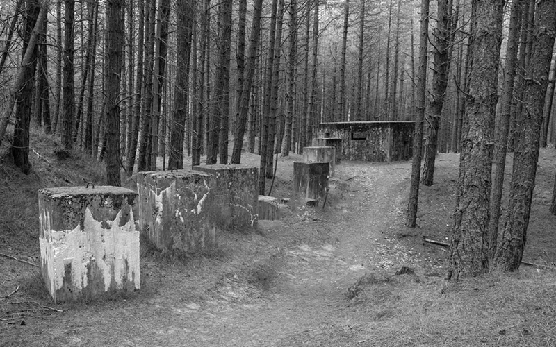
Heading back towards the sea, the Moray Coast Trail consists of almost 50 miles of beaches and cliffs between the historic town of Forres and the sands of Cullen. This stretch of coast has a host of stories to tell including those from wartime Scotland.
Concrete defences like pill boxes and anti-tank placements still mark the shoreline, leftover from World War II. Less well known to many is that Moray had a secret role to play in attack, not just defence. Thousands of soldiers were transported up here in 1943, without any information as to why. Confidential plans saw the civilian population displaced with a few weeks’ notice and replaced with tanks, guns and transport ships.

It turned out that the beaches of Moray were so similar to Normandy, they had been chosen as the perfect place to train for the D-Day landings. Exercises were unforgiving and at least one soldier lost their life, but that time spent on the shore by the Moray Coast Trail proved invaluable when it came to Operation Overlord.
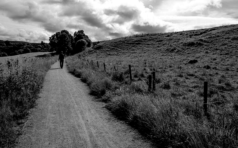
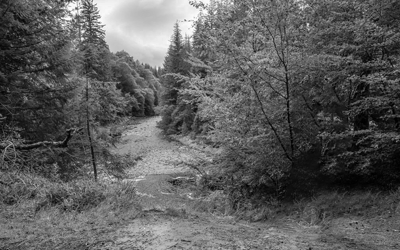
Dava Way
The last of Moray Speyside’s larger trails is the 24-mile Dava Way between Forres and Grantown-on-Spey. Following the route of the old Highland Railway Line makes this long-distance trail relatively easy going.
One option along the trail is a detour to Randolph’s Leap over the River Findhorn. The Randolph in question was Thomas, appointed by King Robert the Bruce to assert royal authority in Moray. It was no easy task for him while the rebellious Comyns were still in control of Dunphail Castle and the lands around Darnaway Forest.
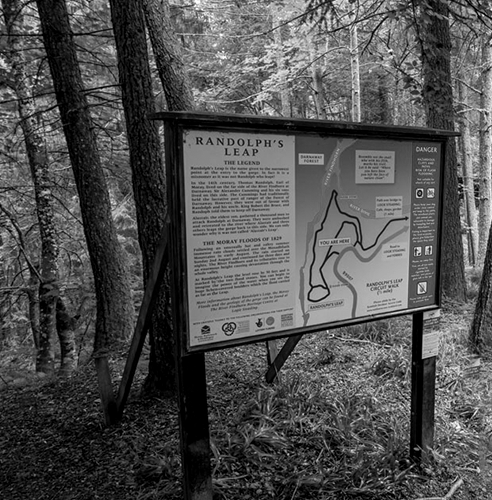
In a show of strength, the Comyns gathered every warrior they could and descended on Randolph’s power base. However, they were marching straight into an ambush, suddenly trapped between their enemies and the deep gorge cut by the Findhorn. Faced with little other option, Alastair Comyn and a handful of companions dared the leap over the chasm.
Alastair survived, but his family’s castle was soon lost and the Comyn name began to be written out of history. As a final insult, over time even the gap a Comyn risked his life to jump became known as Randolph’s Leap instead.